What is fiber GIS?
Geographic Information Systems (GIS) and Fiber Management Systems (FMS) may seem like close relatives, but they operate in distinctly different domains. While usually a FMS can be considered a specialized subset of GIS, the opposite isn’t true – GIS does not function as an FMS.
GIS tools are designed to map virtually anything – a versatile model akin to productivity software that can write, present, or calculate a wide range of things. In contrast, fiber management software solutions are engineered specifically to map, model, and manage fiber optic networks.
But what comes first? There are network management solutions, built upon well known and established GIS systems, often as add-ons to pure GIS systems. There are such powerful OSS/BSS solutions with strong mapping features, serving not only fiber design, but all kinds of utilities and more. So when these two are merged together, and it’s unknown which one comes first, how should we call it?
Mapping in fiber optic network design, alike mapping in utility and other designs, is a corner stone, hence management systems incorporate all kinds of map data providers:- Google Maps
- Bing Maps
- OpenStreetMaps
- ESRI ArcGIS
- QGIS
- and many more
Benefits of GIS mapping and management systems
Nearly any modern GIS fiber mapping system offers powerful instruments for collecting, drawing, visualizing, calculating and analyzing fiber data, making it easier to plan, construct, and manage fiber optic networks efficiently. In comparison to designing and keeping track of the whole network in Autocad, using GIS fiber management provides a lot of advantages:
1. GIS fiber maps, often referred to as digital twins of fiber networks, provide comprehensive visibility into network infrastructure. This eliminates the need for other software and paper notes, as all data is being stored in one place.
2. Switching to GIS fiber management transforms the efficiency of organizational workflows. By consolidating all fiber-related data into a single-source platform, departments across the organization gain shared access to accurate data for faster decision-making. Automation features further streamline processes, saving time and reducing costs.
3. GIS fiber management tools provide precise location data that enable rapid identification of outages and issues. A single representative can utilize digital fiber maps as the centralized system of record to localize outage areas in minutes and develop effective remedies.
4. Planning and designing new installations become significantly easier with GIS fiber mapping. The digital map establishes a robust foundation for future growth by clarifying existing infrastructure details, allowing better projections of costs and returns for ongoing projects.
5. By leveraging a fiber GIS, key stakeholders can seamlessly access critical data. With all information derived from a unified source map, collaboration becomes smoother and decisions more informed
GIS comes at a cost
Most potential drawbacks are tied to the initial fiber network GIS system implementation phase as you shift from your current system to a GIS digital platform. While these issues are typically short-term, it’s crucial to be aware of them.
1. Adopting GIS for fiber management may incur significant upfront costs. These can include work required to integrate the fiber mapping system with your organization’s existing IT infrastructure. While these investments are essential, they can strain budgets during the setup phase.
2. In order to fully utilize fiber GIS mapping tools, your team must have the relevant expertise. If your staff lacks experience with these systems, implementing a thorough training program becomes critical. Finding time for lessons is… very hard usually.
3. Depending on the size of your organization and network, licensing fees for network GIS software can be a notable financial consideration. Small-scale ISPs with fewer users typically face lower fees, whereas larger organizations may benefit from purchasing an enterprise license to accommodate multiple employees. However, an entry ticket price charged by the behemoths of GIS industry can be extremely high.
GIS vs noGIS for fiber management
Any fiber optic network map, before it exists on paper or in any kind of software, exists in someone’s head. Then it usually emerges as a sketch on paper. Its first appearance is never connected with some fiber GIS.
Why?
Because fiber GIS systems are always complicated. To make it work one has to draw all of the network assets again, which include:
- define all sorts of aerial, underground, other paths
- create and draw tons of buildings, cabinets, closures, splice boxes, etc.
- draw user equipment and input tons of addresses
- layout different sorts of fiber optic cables
- set up and customize tons of things
- do some kind of fiber splicing
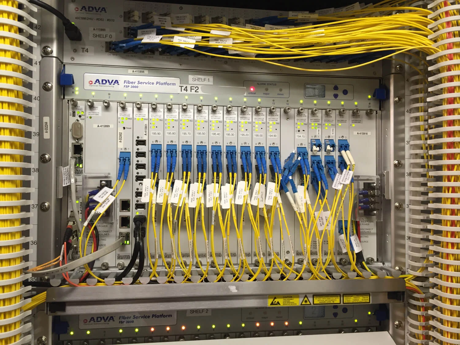
A noGIS fiber management system presumes you have that fiber map either in your head, or you can open it in any sort of software. NoGIS also means no Arcgis or no Qgis experience is needed. NoGIS means no creating manholes on the map, putting splice closures in it, connecting fiber cables to it, wondering why they are not connecting, calling tech support. A noGIS fiber management system like SPLICE.ME takes you straight to the fibers.


This is the clenest and fastest way to work with fibers.
Why another software?
Splice.me is not meant to substitute your GIS fiber management system. It emerged as a compliment to big GIS fiber systems with clunky fiber splicing interfaces. So it is a small but useful addition, which runs in web browser.
Why not add GIS map to SPLICE.ME then?
If you add GIS fiber mapping, Splice.me will turn to Vetro or Iqgeo number 200. Do you need another one? No you don’t.
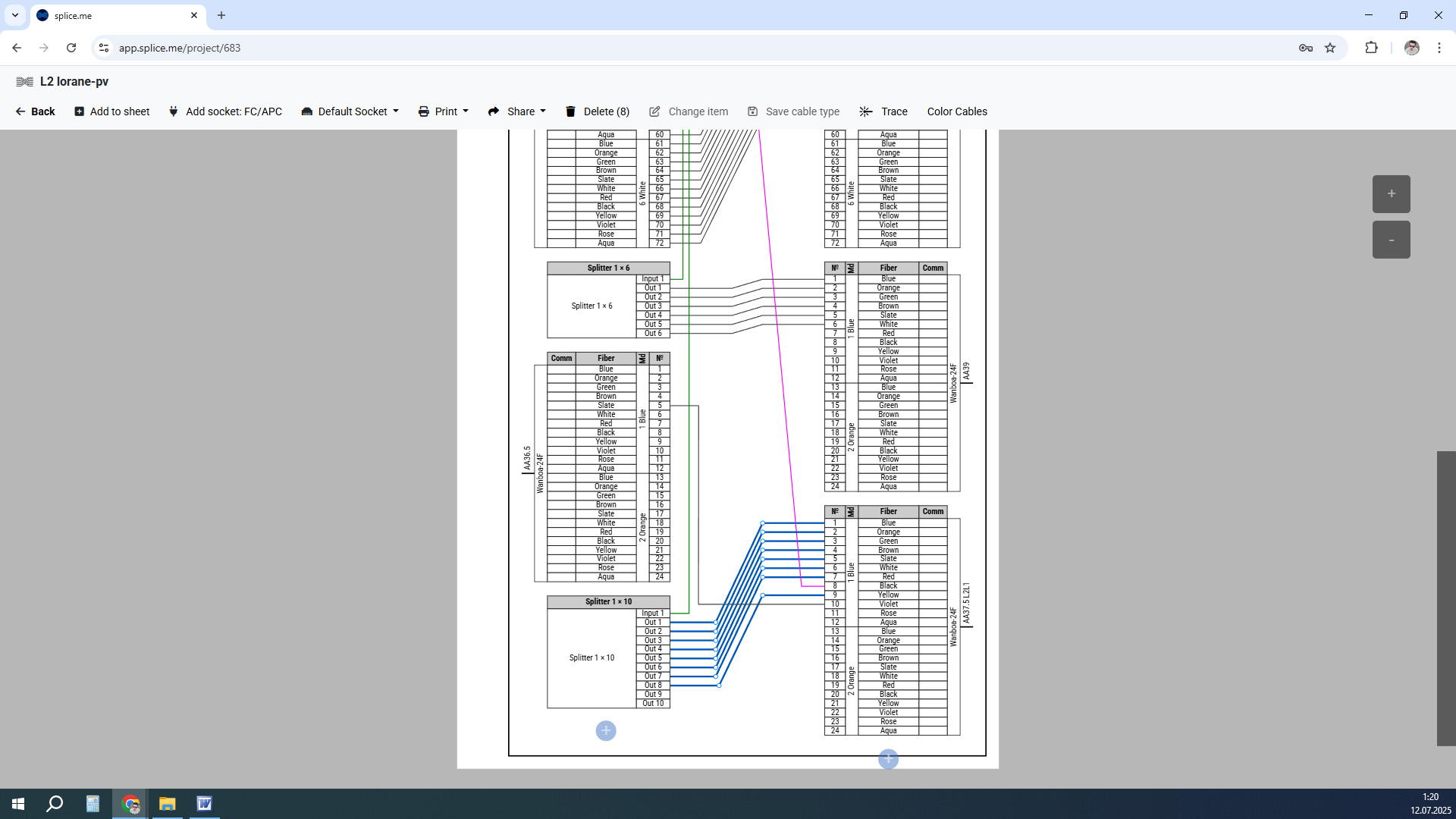
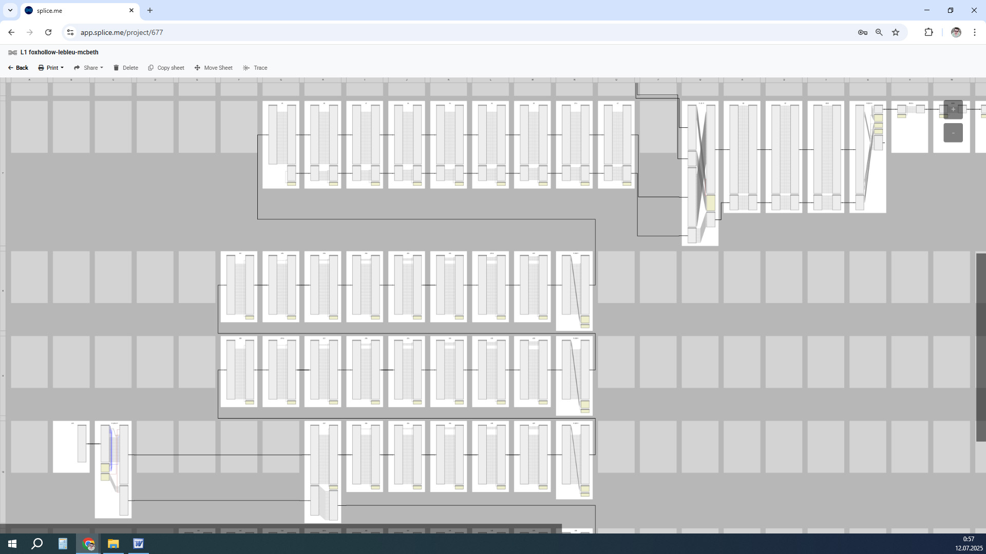
Unmatched SPLICE.ME fiber splicing interface
Take care of your splice sheets
1000+ ISPs are already saving weeks of work with Splice.me!